
Mobile application for mapping and quantify
different invasive species
- Framework: University Project
– University of Szeged, Department of Geoinformatics, Physical and Environmental Geography - Duration: 04.2017 – 05.2017
- Contributors: Levente Papp, Csaba Arató, József Szatmári, Péter Szilassi
- My role: Project leader
- Contact person: Levente Papp – papplevente9610@gmail.com & Péter Szilassi – toto@geo.u-szeged.hu

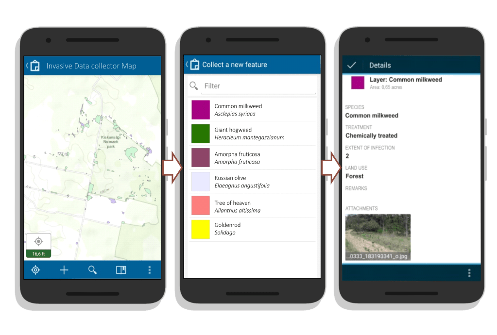
The development of the ‘Invasive Plant Hunter’ mobile app was part of a semester-long university campaign. As part of the campaign, we mapped areas infected with various dangerous invasive species using mobile phones, involving students, teachers and environmental researchers. The spread of invasive species is dynamic, so we used VGI (Voluntary Geographic Information) tools to build a database of several highly threatened areas.
The aim of our project was to create a community volunteer data collection application and a related freely accessible database to map the spread of invasive species causing increasingly severe ecological damage in Hungary. For effective protection, it is important to find a solution to this growing environmental problem and provide a truly effective conservation strategy on a proper scale. We have therefore sought to put the problem in a new light and turn to GIS methods to find a solution. Invasive Plant Hunter is a project that uses the well-known voluntary geographic data collection for planning and conservation, by targeting conservationists, researchers, nature lovers, and so on. Anyone can easily monitor an area of their choice to provide data and, due to its open access, paving the way for further development, conscious and coordinated conservation and further forward-looking research on the subject.
- It is highly dynamic, flexible and provides up-to-date data.
- With little effort, a large amount of data can be achieved from areas far away from us.
- In all cases, the authenticity of the data should be confirmed by a photograph, thus minimising system errors.
- The collected data can be studied by anyone on the online web map.
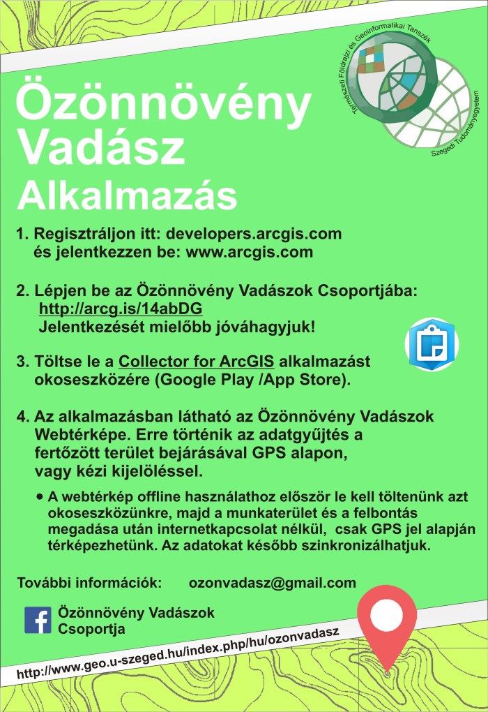
Mandatory attributes such as land use and distribution density were assigned to the layers. In addition, drop-down lists were used to make filling out the data table easy and fast according to a unified system. There is also a separate comment box that the user is free to fill out. The webmap with the application can be found on the ArcGIS Online platform, in a group (only in Hungarian). To access, the surveyor must be a member of the group and the “Collector for ArcGIS” application must be on your smart device.
The application has been / is being used by the university in several field surveys. In the field exercises, the university uses it to teach students and perform various assignments.


Project Outputs
The current project greatly contributed to be able to create the National GIS Database of Invasive Plant Species of Hungary which includes several invasive species of the region which endangers biodiversity. You can access the database: HERE.
See Project Publications
|
|
|
|
|
|