

“Terram mente peragro”
Ármin Vámbéry
The quote “I wander Earth with reason” from Ármin Vámbéry, the renowned Hungarian explorer, linguist, and orientalist, perfectly encapsulates my passion. I firmly believe that having a broad perspective and comprehending complex processes are crucial to geoscience, as they allow us to recognize our environment and make informed decisions that integrate various geo-related disciplines.
I was born in 1996 in Pécs, Hungary. Since my childhood, I have been interested in the natural sciences, especially geography and environmental sciences. From a young age, I travelled a lot in Europe to learn about the cultures of different countries. These early years fostered in me a natural curiosity and desire to explore the world around me. These traits are also important to my work and my profession. Growing up in an entrepreneurial family, I acquired the ability to think systematically and see things from the perspectives of both employees and employers. This mentality has helped me in my later career when faced with challenges and decisions.

I finished my high school studies at the Janus Pannonius Grammar School, majoring in Mathematics and Computer Science.
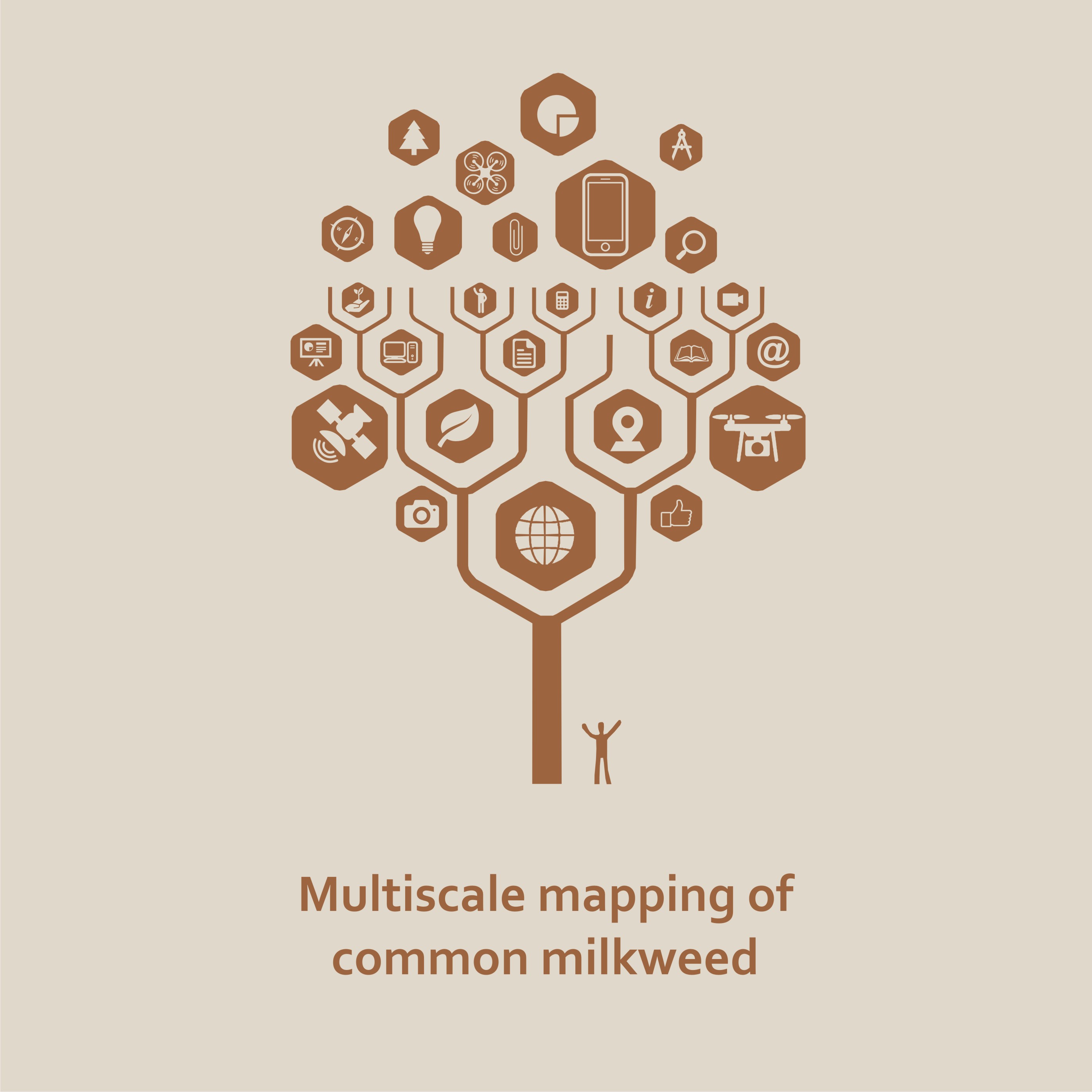
Subsequently, I graduated from the University of Szeged (Hungary) with a bachelor’s degree in geography and a specialization in geoinformatics. I joined early in the research and scientific work of the department. Earth observation, remote sensing and machine learning became the focus of my interest quite soon. During my years in Szeged, we developed a variety of studies as satellite, UAV (hyperspectral) and VGI-based researches. Our works have been appreciated at several national and international conferences. When I was a third-year undergraduate student, I had the opportunity to participate in university education as a student lecturer and teach GIS fundamentals to first-year geography and geology students for one semester.
I completed my Master’s degree in Applied Geoinformatics at the University of Salzburg, Austria, in an international and culturally diverse environment. During this time, I focused on object-based image analysis (OBIA) and the wide range of applications of remote sensing technologies. I also continued to actively participate in conferences and various projects.
During my Bachelor studies, I worked as an intern at the GIS Laboratory of the Department of Soil Mapping and Environmental Informatics of the Hungarian Academy of Sciences. There, in collaboration with my university, we developed a joint research project on data collection methods for vegetation analysis and detection of threatening invasive species using GIS methods at different scales.
I did my internship at EURAC, Center for Sensing Solutions and the Institute for Earth Observation (Bolzano, Italy), where I received a grant during my Master’s studies. Here, I participated in a project promoted by the EU and the South Tyrol Region, in collaboration with the University of Innsbruck and the Free University of Bolzano. The aim of our work was to investigate alpine grasslands using high-precision multi-scale methods in relation to shallow erosion and to support prevention.
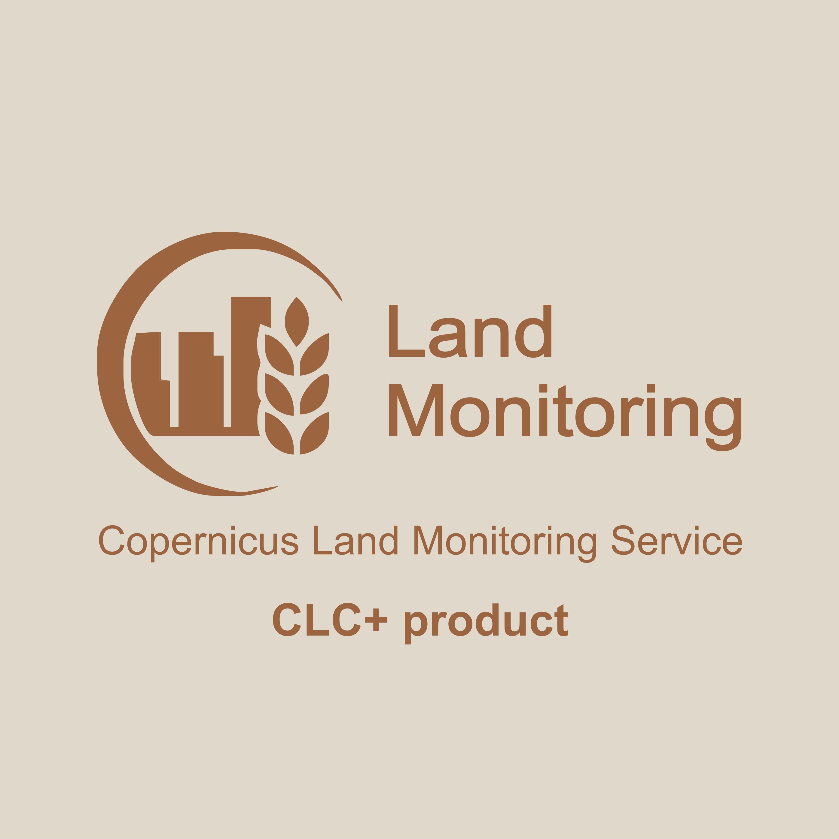
During the last period of my Master’s studies and after my graduation, I was involved in the development of a new innovative Pan-European product of the Copernicus Land Monitoring Service as a scientific and consulting partner – as a Z_GIS staff member – in cooperation with several leading European remote sensing companies.
I grew up in an entrepreneurial environment – where, in our company (since 2017, as a project manager) my responsibilities are to communicate and negotiate with business partners and sponsors about cooperation opportunities, plan and coordinate the launch of our new services and support middle-level decision making – I think of myself as a goal-oriented and pragmatic person. Alongside my university studies, I continuously worked in the EO industry or as a project manager at Fordan, Pécs. Consequently, I have a very strong interest in organisation, coordination and management and I plan to continue my career in this direction

As a geographer and remote sensing professional, I believe that I need to be informed and up-to-date with the natural sciences and space-related disciplines and events. Therefore, whenever I can, I like to engage in these areas and expand my knowledge. I believe in continuous, lifelong learning and self-development. Whenever I encounter new topics or problems, I take them as a challenge. I consider (event) organisation and management to be one of my greatest strengths.
Therefore my interests and hobbies are very varied and wide ranging. Among other things, I am very interested in design (especially art déco and functionalism – and their different branches) and architecture (e.g. Mid-century modernism & Bauhaus). My hobbies are gastronomy, winemaking, and wine culture related activities. When I have the chance, I organise long-distance cycling tours, and I also enjoy hiking.
The creed of my Alma Mater,
my heritage.
What is Geoinformatics?
What is the meaning behind of geospatial perspective?
Geoinformatics builds a bridge between our real and virtual world. It creates information from data that supports decision making and future developments.
The vision, how Geoinformatics, Space technology and the MacroScope concept shaping the future is that I inherited from my Alma Mater, Salzburg.

Please find some of the projects I have been involved in: as a leader, a staff member or a contributor.


References available upon request.

- Eurac Research Grant 2019.07 – 2020.01
- 1st place – Conference of National Scientific Students’ Associations in
Environmental Sciences – Szeged, 2018 - 3rd place – Conference of National Scientific Students’ Associations in
Environmental Sciences – Budapest, 2018

- ‘Basics of Geoinformatics’ practical course
– University of Szeged 2017-18 summer term

Error: map cannot be loaded

Here you can find all of my published work, including articles, book chapters, conference papers and related works.
Please click on the year or download the complete list.
2021
|
||
|
2020
|
||
|
||
|
2019
|
||
|
2018
|
||
|
||
|
||
|
2017
|
||
|
||
|

Here you can find some images and snapshots from my professional life.
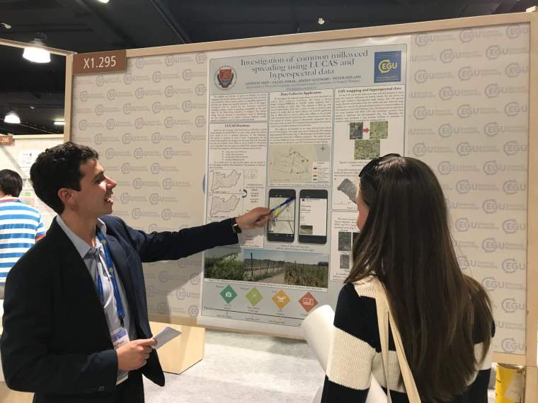
EGU 2018 – Vienna, Austria 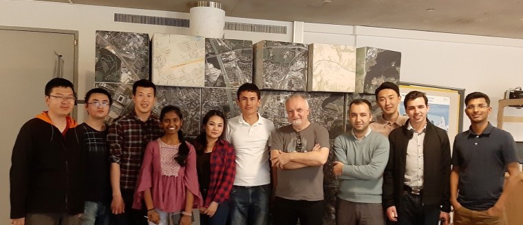
Z_GIS International Team with Josef Strobl, 2019 – Salzburg, Austria 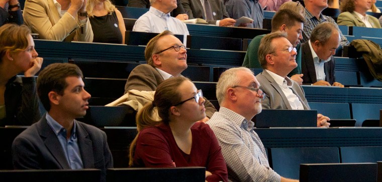
30 Years Z_GIS – GIScience Symposium & Ceremonial Act, lisening the presentation of Michael F. Goodchild. First row: Levente Papp (l); Franziska Fürbacher – WIGeoGIS (c); Josef Strobl – Z_GIS (r); 2018 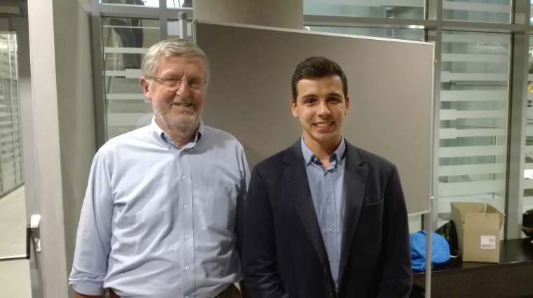
30 Years Z_GIS – GIScience Symposium & Ceremonial Act with Michael F. Goodchild 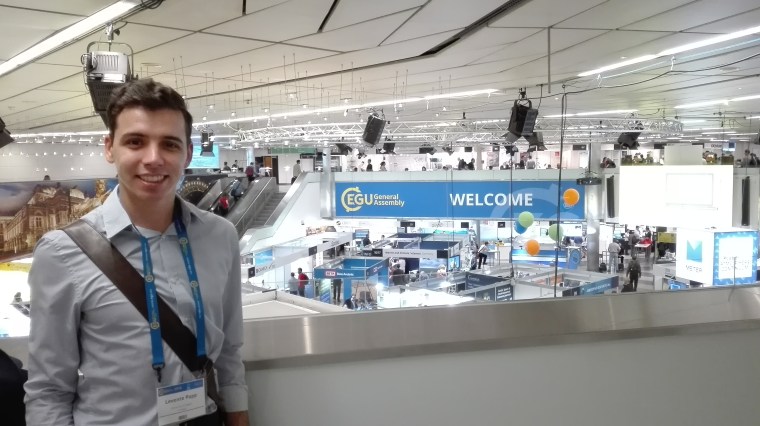
EGU Conference, 2018 – Vienna, Austria 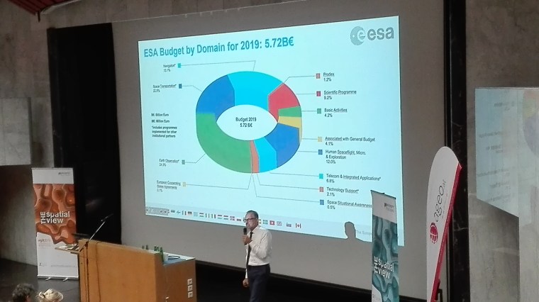
Participating at Josef Aschbacher’s (Director General of the European Space Agency (ESA)) presentation, 2019 – Salzburg, Austria 
EURAC-led spectroradiometer measurements in Dolomites, Italy 
39th EARSeL Symposium 2019 – Salzburg, Austria. Lukas Graf – ETH Zürich (l); Stefan Lang – Z_GIS (c); Levente Papp (r) 
Laboratory spectral tests, Center for Sensing Solutions, EURAC Research 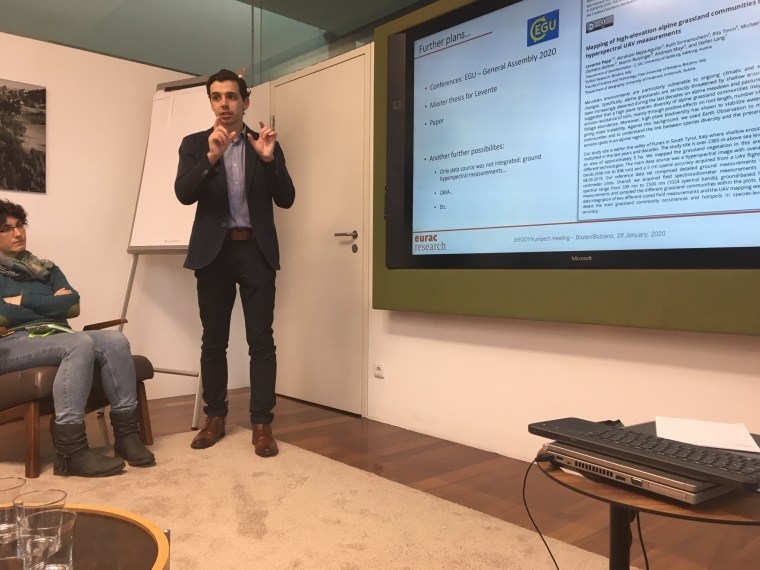
Presentation at EURAC Research (Bolzano, Italy) for our academic partners: University of Innsbruck and Free University of Bolzano, 2020 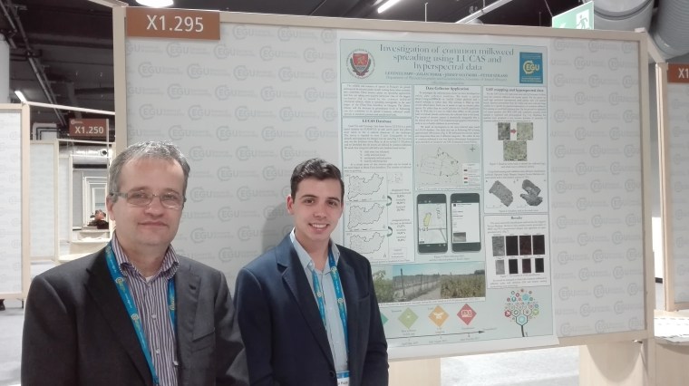
EGU 2018 – Vienna, Austria; Péter Szilassi – University of Szeged (l) & Levente Papp (r) 
Preparation of hyperspectral measurements – collaboration with Hungarian Academy of Sciences (ATK TAKI), 2017 – Kiskunság, Hungary 
VII. Hungarian Landscape Ecology Conference – Interdisciplinary landscape research in the XXI. century, 2017 – Szeged, Hungary 
terraXcube, EURAC Research – Bolzano, Italy 
Presentation to the Z_GIS OBIA (Object-based image analysis) Lab team, 2018 – Salzburg Austria 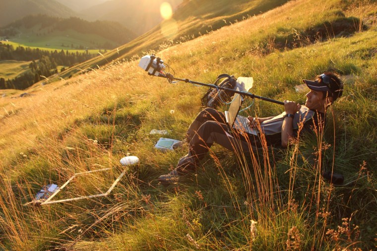
EURAC-led hyperspectral measurements in Dolomites, Italy – Abraham Mejia-Aguilar 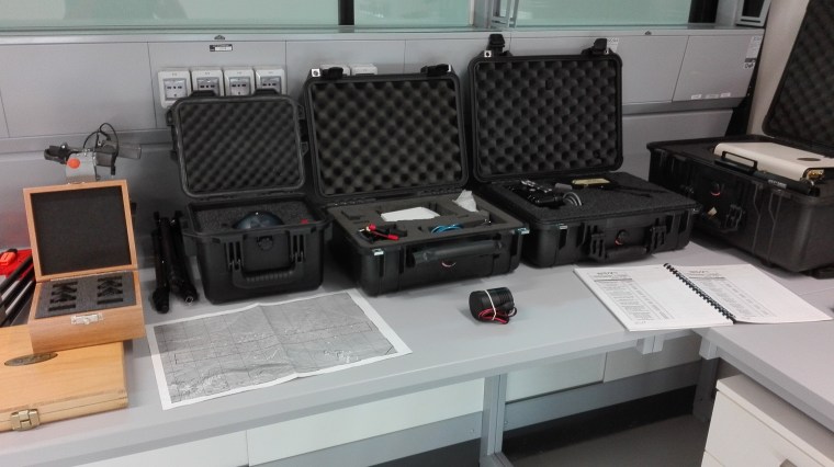
Some of our equipements (Standard Spectralons; SVC Cosine Irradiance Sphere; Rikola VIS-VNIR Snapshot Hyperspectral Camera and so on) Center for Sensing Solutions, EURAC Research 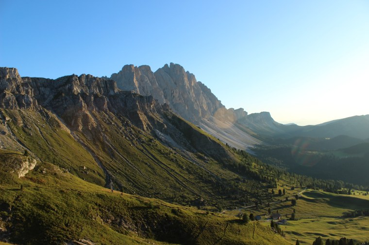
One of our test site: Funes valley, Puez-Geisler Nature Park, Italy 
Maintenance of artificial corner reflectors, for EUARC-led slow ground deformations monitoring studies, 2019 – Corvara in Badia, Italy – Abraham Mejia-Aguilar 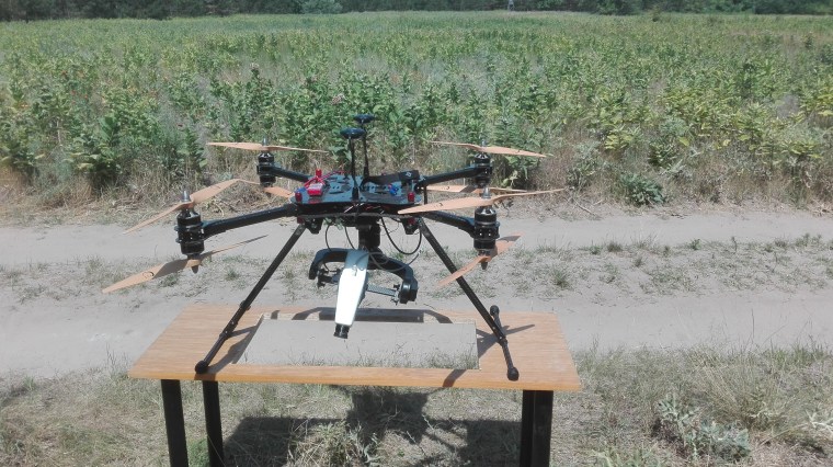
CarbonCore Cortex X8 octocopter and Cubert UHD-185 hyperspectral camera – Collaboration with Hungarian Academy of Sciences (ATK, TAKI) 
Satellite image wall – University of Szeged, Hungary


